
Industrial Site Mapping & Orthomosaic Overview
FlyThrough Visuals provides professional drone-based services supporting construction, engineering, infrastructure, property and asset-focused projects.

Project Overview
An industrial facility required a clear, structured aerial overview to better understand site layout, access routes, and building structure.
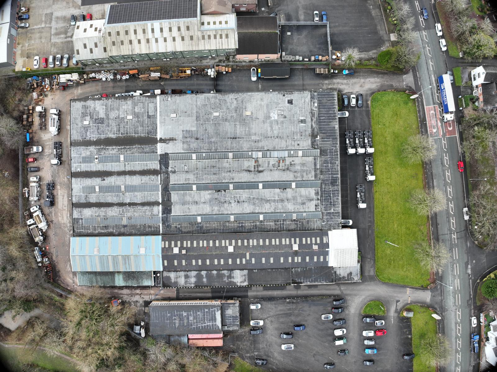
FlyThrough Visuals was commissioned to capture aerial data and produce both a high-resolution site overview and an orthomosaic map, providing a detailed and scalable visual reference for planning and communication.
The Challenge
Limited visibility of the full site layout from ground level
Multiple buildings and access points difficult to assess in one view
Need for a clear, shareable visual reference for operational planning
Requirement for a cost-effective alternative to traditional surveying at this stage
Our Approach
FlyThrough Visuals implemented a structured aerial mapping workflow to ensure consistent coverage and high-quality outputs:
01.
Automated Grid Flight Capture
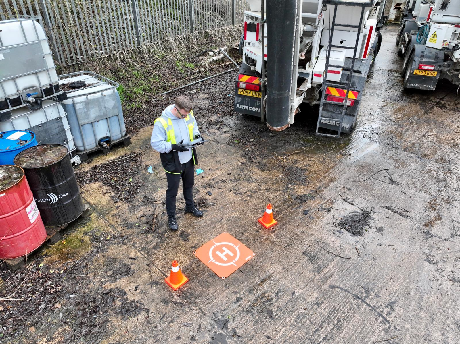
Pre-planned flight path to capture the entire site with consistent spacing and alignment.
02.
High-Overlap Image Collection
Captured a large dataset of overlapping images to support accurate stitching and detail.
03.
Orthomosaic Processing
Images processed into a single, high-resolution orthomosaic map, correcting perspective for a true top-down view.
04.
Detailed Site Overview Capture
Additional aerial imagery captured to provide context and visual clarity across the site
The Result
The project delivered a complete, high-resolution orthomosaic map of the facility, providing a clear and measurable overview of the site layout. This enabled improved understanding of access routes, building footprints and overall site usage, giving teams a more accurate and comprehensive view of the environment.
The outputs supported clearer communication across teams and stakeholders, allowing information to be shared more effectively and consistently. This helped reduce ambiguity when discussing site conditions and provided a reliable visual reference for planning and coordination.
Overall, the result was a more informed approach to decision-making, with improved visibility of the site and a practical dataset that could be used across multiple stages of the project.
Delivered a complete, high-resolution orthomosaic map of the facility
Provided a clear and measurable-style overview of site layout
Improved understanding of access routes, building footprint, and site usage
Enabled better communication across teams and stakeholders
Key Deliverables
We support organisations responsible for the planning, construction, operation and management of physical assets, including:
High-resolution inspection images
A structured set of high-resolution images capturing key areas of the asset, providing clear visual detail suitable for technical review and documentation.
Close-up defect visuals
Detailed close-range imagery highlighting specific defects or areas of concern, supporting accurate assessment and maintenance planning.
Optional short video overview
A short video capture providing a broader visual overview of the asset, helping to communicate context, layout and areas of interest more clearly.
Why it Worked
By combining structured aerial capture with orthomosaic processing, the client gained a clear and distortion-corrected view of the entire site.
This provided a far more accurate and usable representation than standard aerial photography, making it ideal for planning, communication, and ongoing site reference.
This project focused on visual mapping and site understanding. Outputs are suitable for planning, communication, and operational insight, and can be scaled to survey-grade workflows where required.
Working With FlyThrough Visuals
